Advanced Gadgets for Snow Cover Analysis in Mountainous Regions

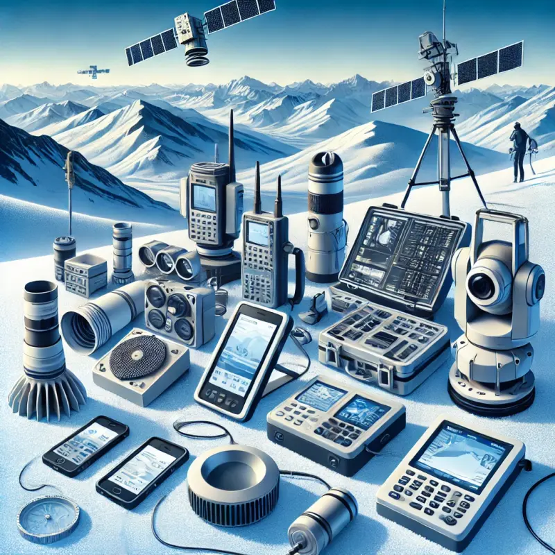
In the vast and rugged terrains of mountainous regions, understanding the complexities of snow cover is not just a matter of ecological interest but a crucial component in predicting weather patterns and ensuring safety. Modern technology has paved the way for the development of sophisticated gadgets that provide meteorologists and researchers with invaluable data about snow conditions. These devices range from ground-based sensors to advanced satellite imagery technologies, each playing a pivotal role in the nuanced study of snow dynamics.

Ground-Based Sensors: The First Line of Measurement

Ground-based sensors are among the most direct methods for collecting snow data. These devices are typically installed at various strategic points across mountain landscapes, offering real-time data on snow depth, temperature, and even the water content of the snowpack. Such detailed measurements are vital for predicting snowmelt and potential flood events, which are critical for the communities residing in mountain valleys.

One of the key advantages of these sensors is their ability to provide continuous monitoring, which is essential during the winter months when snowfall patterns can dramatically alter within hours. The data collected is not only important for immediate weather forecasting but also contributes to long-term climate modeling, enhancing our understanding of how global warming affects snowfall and snowmelt cycles.

Satellite Imagery: A Comprehensive Overview

While ground sensors provide detailed local data, satellite imagery offers a broader view of snow cover across extensive mountain ranges. This technology uses various spectral bands to analyze the surface of the earth, differentiating between snow, ice, and other types of ground cover. By tracking changes in snow cover over time, meteorologists can identify trends and predict future weather patterns with greater accuracy.

Satellites equipped with thermal sensors add another layer of data by measuring the temperature of the snow. This information is crucial for understanding the different stages of snowmelt and the resultant impact on river flows and reservoirs. Furthermore, satellite imagery is invaluable for remote areas that are otherwise inaccessible during heavy snowfall, ensuring that no region is left unmonitored.

Portable Snow Measurement Tools: Enhancing Field Studies

In addition to fixed sensors and orbital technologies, portable snow measurement tools have become an essential part of field studies. These handheld devices allow researchers to conduct on-site assessments of snow density and depth. They are particularly useful for validating and calibrating data collected by remote sensors, ensuring accuracy and reliability in snow studies.

Portable tools such as snow corers and penetrometers are simple yet effective in providing immediate data during field expeditions. They are not only used by scientists but also by adventurers and professional guides who operate in snowy terrains, offering them a quick assessment of snow stability and avalanche risk.

Integrating Data for Advanced Analysis

The integration of data from ground sensors, satellites, and portable tools provides a comprehensive picture of snow conditions. This multi-faceted approach allows for advanced analysis and modeling, giving meteorologists the tools to forecast weather with unprecedented precision. Sophisticated software platforms collate and analyze these diverse data streams, enabling detailed simulations of how snow cover might evolve under various weather scenarios.

Enhancing Predictive Meteorology Through Advanced Modeling

The comprehensive data provided by snow analysis gadgets feeds into predictive models that are essential for meteorology. These models, relying on algorithms that incorporate historical weather data and current conditions, can forecast future weather patterns with a degree of accuracy that was previously unattainable. For meteorologists, the ability to predict heavy snowfall, blizzards, and potential thawing events is crucial in issuing timely weather advisories and warnings.

Advanced modeling tools can simulate various scenarios based on the snow cover data, helping meteorologists to understand potential outcomes of different weather phenomena. For instance, by assessing the rate of snowmelt in a given area, models can predict the likelihood of floods, which in turn aids in disaster preparedness and management.

Improving Mountain Safety with Real-Time Data

Mountain safety is a critical concern, particularly in regions known for skiing, hiking, and other outdoor activities. Real-time data from snow cover analysis gadgets has significantly improved safety measures by providing timely information that can prevent accidents and guide rescue operations.

For example, avalanche transceivers, which are now more sophisticated thanks to improvements in sensor technology, can quickly locate buried individuals in the unfortunate event of an avalanche. Moreover, snow depth sensors and satellite data help ski resort managers to assess and manage avalanche risks before allowing visitors to enter high-risk areas.

Educational and Training Applications

The data and technologies not only aid professionals but are also invaluable educational tools for training the next generation of meteorologists and mountain safety experts. Universities and research institutions use this data to teach students about snow dynamics, weather forecasting, and environmental management.

Training programs, especially for mountain guides and rescue teams, increasingly incorporate data from these gadgets to simulate various scenarios, enhancing preparedness and response strategies in real-world situations.

Challenges and Future Directions

Despite the significant advancements, there are still challenges to overcome, particularly in terms of data integration and the management of large datasets. Additionally, the rugged terrain and harsh conditions of mountainous areas pose technological and logistical challenges in deploying and maintaining equipment.

Looking forward, the development of more robust and energy-efficient gadgets, along with enhanced satellite technologies, promises to further refine the accuracy and usefulness of snow cover data. Collaborations between tech companies, research institutions, and governmental bodies are key to advancing these technologies and their applications.

Conclusion

The gadgets used for analyzing snow cover in mountainous regions are more than just tools; they are part of a broader strategy to understand and adapt to our changing climate. They not only enhance our predictive capabilities in meteorology but also play a crucial role in ensuring the safety and management of mountainous terrains. As technology continues to evolve, the future of mountain meteorology looks promising, with the potential to bring even greater insights and improvements in both weather forecasting and environmental conservation.

This exploration into the world of mountainous snow cover analysis underscores the synergy between technology and environmental science, highlighting a future where both may thrive together, offering profound benefits to society.

Articles

Opt-in for our updates to receive the latest and most fascinating articles right in your inbox.